GIS Mapping Services for Urban Development: What You Need to Know
- 28 Oct 2026
Urban development involves the need for accurate geographical data, planning, and decision-making. In the course of city growth, it is important to organize effectively the land use, the transportation network, utilities, residential complexes, environmental resources, and other factors.
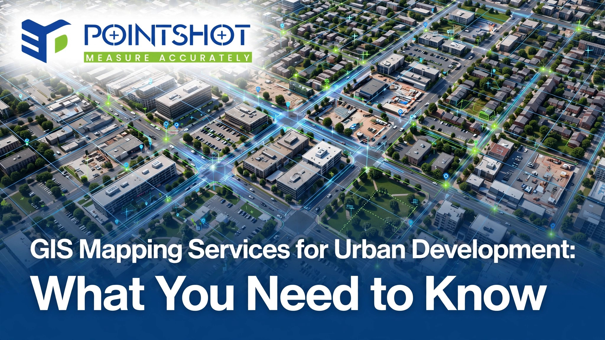
GIS Mapping Services for Urban Development assist in turning geographical data into useful maps and information that allow planners, engineers, developers, and governing bodies make more efficient decisions. This is irrespective of whether it concerns the location suitable for the development of infrastructures or an assessment of the current road networks.
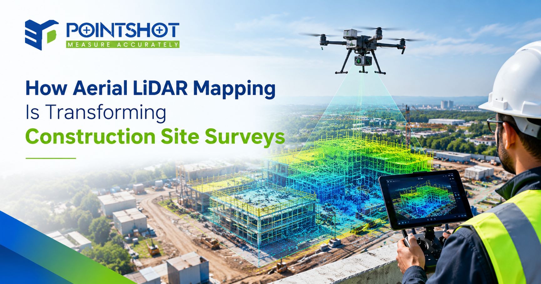
Utilizing advanced technologies of geospatial data acquisition, such as GIS mapping, unmanned aerial vehicle surveys, LiDAR scanning, and 3D modeling, urban development projects could become more informed and structured.
What are GIS Mapping Services?
The Geographic Information System (GIS) mapping is a technology applied for acquiring, managing, analyzing and visualizing geographical information.
In urban development, some of the applications of GIS mapping include land use studies, road network analysis, population analysis, drainage analysis, utility analysis, and environmental analysis.
The professional GIS mapping solutions in India help organizations plan their spatial data and use it in urban development projects.
Applications of GIS Mapping in Urban Development
1. Land Use Analysis
Land use planning involves planning how the land will be used for residential, commercial, industrial, and public purposes. The GIS mapping allows the planners to study the land use pattern, the vacant lands, infrastructure, and environmental considerations of the area.
This data helps in the site suitability analysis and also enables the development team to choose an appropriate location before starting any urban development project.
2. Transportation and Road Networks Planning
Transportation system plays a critical role in the urban development. GIS mapping helps in analyzing the road networks, the transportation flow and accessibility, and also the connectivity with residential areas and other important facilities.
3. Utilities and Infrastructure Management
For urban areas to function properly, there is always the need for important infrastructure like water supply, drainage, electricity and telecommunication. GIS mapping can be used to plan the geographic location of these infrastructures and areas that will need more infrastructures.
With proper utilities mapping, infrastructure maintenance and cooperation among various infrastructural teams becomes easier.
4. Environmental Monitoring
There needs to be an analysis of the environmental conditions when carrying out sustainable developments. GIS mapping can assist in the analysis of green areas, water bodies, land cover changes and areas that might easily get flooded.
This information can assist in environmental assessment and ensure that planners take into consideration the sustainability of urban infrastructure.
5. Smart Cities Development
Development of smart cities will involve the availability of accurate information about transportation, utilities, public services and land use. GIS mapping will make sure all these data sets come together in one geographic location so that infrastructure deficiencies can be identified and development activities prioritized.
With regular updates to the information, GIS can also be used for urban monitoring and infrastructure management.
Why Are GIS Mapping Services Important in Ahmedabad?
Ahmedabad keeps developing within residential, commercial, industrial, and transportation spheres. To plan properly, one should understand how the infrastructure looks now, what is the state of lands, and what will be required for future development.
GIS mapping services in Ahmedabad may be helpful for developers, engineers, and planning authorities to conduct
-
land use mapping and site suitability analysis
-
road networks and transportation planning
-
industrial and residential infrastructures mapping
-
drainage and environmental assessment
-
utility mapping and infrastructure management
-
smart city and urban development projects
By using geographical datasets along with field survey data, GIS mapping allows understanding the site and planning properly.
How GIS Mapping Is Conducted in Urban Development
In order to ensure the quality and reliability of the results, GIS mapping usually consists of several stages.
Step 1: Data Collection
The geographical data is collected by means of satellite images, UAV surveying, GPS measurement, maps and field surveying.
Step 2: Data Processing
This data collected is organized and put into the correct geographic reference systems.
Step 3: Geographic Analysis
The experts in geography assess the link between different geographical factors including land suitability, connectivity, topography, and environment among others.
Step 4: Map Production
The processed data is then presented through digital maps, thematic maps, and geographic databases.
Step 5: Planning and Reporting
The results allow evaluating development alternatives for planners and making decisions about projects.
The order of steps in a GIS project depends on the particular project scale, data availability, the accuracy level needed and the use of GIS.
Advantages of GIS Mapping Services
Use of GIS mapping services provides numerous advantages for urban planning and infrastructure development projects.
Better Decision-Making
Geographical data can be used in assessment of locations and development alternatives.
Efficiency
Systematic spatial data reduces duplications and allows coordinating planning process.
Resource Management
GIS helps to identify areas requiring infrastructure development and provision of additional services.
Environmental Awareness
Mapping of natural and land-use changes aids sustainable urban planning.
All these advantages rely upon the quality and precision of the data that are used and its regular updating.
GIS Mapping and UAV Surveys, LiDAR, and 3D Modeling
GIS mapping can be performed with the help of other methods for getting better insight into urban area.
UAV Surveying
Collects aerial imagery and survey data for further mapping and evaluation of the site.
LiDAR Scanning
Precise measurements of 3D terrain and solid objects.
3D Mesh Modeling
Creation of three-dimensional images of buildings and landscapes.
BIM Integration
Facilitates the integration of geographical data and model of the building/infrastructure.
For instance, a developer, who is going to build a large residential or industrial site, may need UAV surveying to obtain aerial data, LiDAR scanning to estimate terrain, and GIS mapping to examine land use and connectivity of infrastructure.
These services could work together according to the needs of the project.
Choosing the Appropriate GIS Mapping Services Provider
It is crucial to choose the appropriate GIS mapping services provider in order to receive the relevant geographical data and project deliverables. Here are several aspects that should be taken into account before the decision making process.
Technical Skills
A provider, which is familiar with GIS mapping, spatial analysis, geographical database, and map production will be better.
Data Accuracy
Questions about validation, coordinate system, quality control procedure, and accuracy of data are necessary.
Industry Experience
Urban planning, infrastructure, construction or land development experience may help the provider understand project requirements better.
Technology Integration
For complicated projects, UAV surveying, LiDAR, and 3D modelling may be an asset.
Project Deliverables
Check the necessary format of maps, GIS documents, reports, and compatibility with your software and procedures.
Why Use 3D Pointshot?
3D Pointshot is a company which works in the geospatial and 3D technology industry, whose capabilities include GIS, UAV surveying, LiDAR, 3D mesh modelling and BIM.
The technologies above may assist in projects where geographical data acquisition, analysis, understanding of terrains and infrastructure visualisation are required.
When choosing a correct combination of geospatial services for urban development projects, there should be taken into account the area of the project, existing information, necessary level of accuracy and deliverables of the project. It is useful to discuss the above factors with 3D Pointshot.
Frequently Asked Questions (FAQ)
1. What is GIS mapping services for urban development?
GIS mapping services are the services that make use of geographical data and spatial analysis for planning land use, development of infrastructure, transportation, and environmental impact assessment.
2. How can GIS mapping services help urban planners?
GIS mapping services are beneficial to urban planners as these will help them analyze land conditions, connectivity of infrastructure, opportunities of development, and make decisions based on geographical data.
3. Who would require GIS mapping services in India?
The users of the services can be departments of the government, urban planning agencies, real estate development firms, engineering consultancy firms, infrastructure firms, and environmental groups.
4. How GIS Mapping Services Applications in Ahmedabad are used?
Various applications of the GIS mapping services include land-use mapping, residential and industrial developments, roads networks mapping, utilities mapping, drainage mapping, and development of smart cities.
5. Can GIS mapping services be integrated with UAV surveying and LiDAR?
Yes. The UAV surveys and LiDAR would help in getting aerial data and 3D data that would be further utilized in GIS operations.
6. What determines the price of GIS mapping services?
Some of the parameters determining the price include project extent, data availability, survey requirements, accuracy requirement, complexity, and deliverables.
Conclusion
Geographic Information Systems mapping is now an integral part of modern urban development since the technique makes it easier for organizations to comprehend geographical realities, assess their infrastructure, and plan future growth.
The use of such GIS services for urban development can be seen in areas such as land use planning, transportation systems, utility management, and environmental assessment, among others.
Wherever you need GIS mapping services in India or GIS mapping services in Ahmedabad, choosing the right geospatial technique may help with your project and data management planning.
Do have a look at GIS & Geospatial Technology Solutions offered by 3D Pointshot for all your urban development and infrastructure needs.